Sunscreen Before the Sweaters: Orlando Enjoys One Last Warm Friday Ahead of the Deep Freeze
A Golden Start to the Weekend
Today in Orlando, the theme is "enjoy it while it lasts." As a massive winter storm barrels across the eastern two-thirds of the United States, bringing ice and snow to the Midwest and South, Central Florida remains a sunny sanctuary—at least for now. High pressure continues to dominate our local atmosphere, providing a pristine Friday for residents and tourists alike. With the national news filled with reports of blizzard conditions and freezing rain elsewhere, the City Beautiful is basking in a warm, subtropical bubble that makes it the envy of the nation.
Morning: Crisp and Bright
The day began with a comfortable 64°F at sunrise, accompanied by high humidity of about 85%, giving the air that classic Floridian dewiness. As of mid-morning, the skies are mostly sunny with a light breeze coming from the north-northeast. For those heading out to the theme parks or early morning commutes, a light layer might have been necessary at dawn, but the mercury is rising quickly. Expect the cloud cover to remain minimal through the noon hour, providing ample sunshine for outdoor lunch plans.
Afternoon: The Peak of the Heat
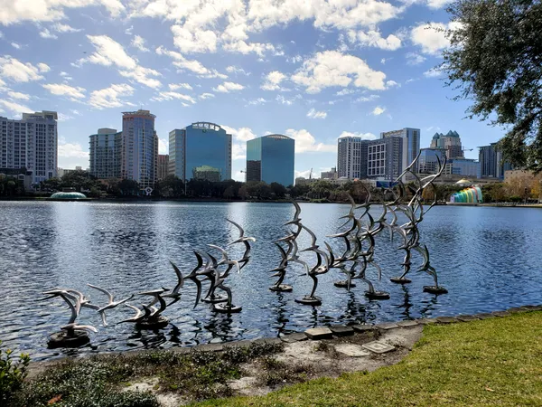
By mid-afternoon, Orlando is expected to hit a high of approximately 80°F. This is significantly warmer than the typical late-January average, making it an ideal day for the local water parks or a stroll through Lake Eola. While some scattered afternoon clouds may drift in from the coast, they will provide little more than a brief respite from the sun. The winds will hold steady between 5 and 10 mph from the north-northeast, keeping the air moving and the humidity feeling manageable at around 77%.
Evening: Fair Skies and Cooling Trends
As the sun sets, the temperature will gradually descend to a pleasant low of 60°F. The evening looks exceptionally clear and fair, perfect for outdoor dining or late-night walks. Rain chances remain extremely low today, sitting at just a 5% to 9% probability, meaning you can safely leave the umbrella at home. However, don't let the warmth fool you into a permanent summer mindset.
The Looming "Cold Punch"
While today is balmy, weather models are tracking a significant "cold punch" descending from Canada. National forecasters are already warning that freezing temperatures could reach as far south as Florida by early next week, with some models predicting lows in the 30s by Monday. While there are no active wind or rain warnings for Orlando this Friday, residents should enjoy the current 80-degree weather while it remains. This weekend marks the final transition between our current warm spell and a much sharper winter chill.
Today's Weather at a Glance
- Morning: Mostly sunny, current temperatures near 64°F.
- Afternoon High: High near 80°F with light NNE winds at 5-10 mph.
- Evening Low: 60°F under generally fair, clear skies.
- Rain Chance: Less than 10% throughout the day.
- Alerts: No immediate local warnings; however, a major national winter storm is expected to bring colder air to Florida by Sunday night.