Orlando’s closest brush with snow came January 19, 1977, during a historic Florida cold wave
A rare Central Florida weather milestone, nearly five decades later
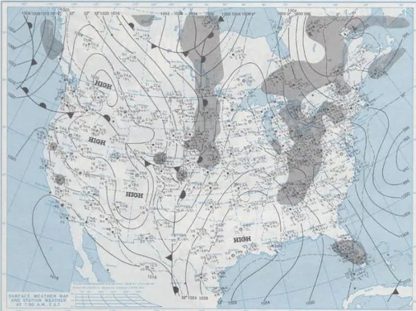
Orlando residents occasionally ask whether snow has ever fallen in the city. The closest documented answer traces back to Wednesday, January 19, 1977, when an exceptional Arctic outbreak pushed winter conditions deep into the Florida peninsula and produced reports of flurries and a light coating in parts of the Orlando area.
Even so, Orlando’s official snowfall record at Orlando International Airport remains at 0.0 inches. In practical terms, that means that while wintry precipitation was observed in the region during the 1977 event, it did not translate into a measurable snowfall total at the airport’s long-term observation site—an important distinction in how meteorological “records” are kept.
What happened on January 19, 1977
The 1977 cold wave developed as successive cold fronts and a strong, expansive high-pressure system funneled unusually cold air southward across the Southeast and into Florida. With enough moisture and lift in place, precipitation in some areas mixed with or changed briefly to snow flurries.
Reports from that morning placed snow flurries across large portions of peninsular Florida, including Central Florida. The event’s footprint extended far beyond Orlando: flurries were observed in the metro areas of West Palm Beach, Fort Lauderdale, and Miami, reaching as far south as Homestead—widely recognized as the southernmost observed snow in Florida’s recorded history.
What the Orlando-area record does—and does not—show
Orlando International Airport’s official snowfall total remains 0.0 inches, reflecting no measured accumulation at the primary observation site.
Historical accounts from Central Florida describe anything from a trace to a light coating in and around Orlando during the January 19, 1977 cold wave.
Regional reporting places the heaviest Florida impacts from this episode farther north and west, with parts of the Interstate 4 corridor between Tampa and Orlando cited among locations that saw the most notable accumulation in Central Florida.
Why Florida snow is so difficult—yet not impossible
For snow to reach the ground in Central Florida, temperatures must be cold enough through a deep layer of the atmosphere while sufficient moisture and precipitation are present. In Florida, cold air intrusions are typically brief, and near-surface temperatures often rise quickly after sunrise. These constraints make measurable snow uncommon south of North Florida and place events like January 19, 1977 into a small historical category.
The January 1977 outbreak remains one of the best-documented examples of snow flurries reaching deep into peninsular Florida, with Central Florida included in its broad footprint.
What it means for Orlando today
As of January 19, 2026—49 years after the 1977 cold wave—Orlando’s weather history supports a clear conclusion: the region has experienced wintry precipitation and rare flurries, but the city’s primary official record site has not logged a measurable snowfall total. The 1977 event remains the benchmark reference point for the closest thing to “snow in Orlando” in modern records.