Forecast models hint at higher snow chances for Central Florida, but key obstacles remain significant
A rare question returns: could Orlando see snow?
Central Florida periodically finds itself at the center of a familiar winter headline: the possibility of snow. In practice, snow in the Orlando area remains an exceptionally uncommon outcome because it requires a narrow overlap of ingredients that rarely align over the Florida peninsula.
Recent forecast discussions and computer-model guidance circulating across the region have pointed to an increased probability of wintry precipitation somewhere in Florida during strong cold outbreaks. That does not automatically translate to accumulating snow in Central Florida. For Orlando and surrounding communities, the typical ceiling is brief flurries or ice pellets mixed with rain when cold air arrives but the atmosphere remains too warm aloft for sustained snow growth.
What has to happen for snow to reach the I-4 corridor
Meteorologists generally look for multiple conditions to line up at once: subfreezing air near the surface, sufficiently cold temperatures several thousand feet above the ground, and available moisture arriving at the same time the coldest air is in place. Florida often gets one or two of these elements without the rest. The peninsula’s surrounding warm waters also tend to moderate air masses before they reach Central Florida, limiting both the depth and duration of cold air.
Even when temperatures at the ground drop into the 30s, a shallow warm layer above the surface can turn potential snow into cold rain. Conversely, the coldest air can arrive after the best moisture has shifted away, leaving clear skies and a hard freeze rather than precipitation.
Cold air: Central Florida can reach freezing temperatures during Arctic intrusions, but those events are usually brief.
Cold aloft: Snow formation depends on sufficiently cold air above the surface; Florida often lacks that depth of cold.
Moisture timing: The window for precipitation frequently closes before the coldest air arrives.
Recent history: snow has reached Florida, but rarely Central Florida
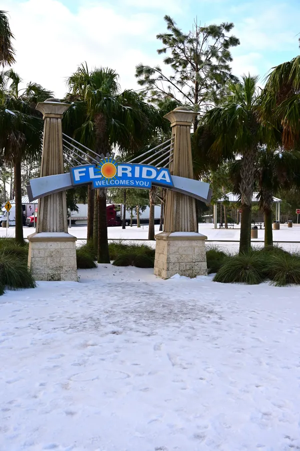
Florida’s most consistent snow risk is in the Panhandle and far North Florida, where Arctic air is deeper and storms track closer. The state saw a high-impact winter storm in January 2025 that produced significant snow and travel disruptions along the I-10 corridor, including record-setting accumulations in the western Panhandle and widespread closures and emergency actions.
Central Florida’s benchmark event remains January 1977, when an extreme cold wave produced rare flakes and light accumulations in parts of the Orlando–Tampa corridor. Since then, the region has seen occasional reports of flurries, but measurable snow has been exceedingly scarce.
What to watch in the next cold threat
For residents tracking the next potential outbreak, the most meaningful signals are not social-media snowfall maps but the forecast temperature profile and timing. The difference between cold rain and snow can hinge on a few degrees and a few hours.
In Central Florida, the practical forecast question is often not “Will it snow?” but “Will the atmosphere be cold enough at multiple levels while precipitation is falling?”
As models evolve, the highest-confidence impacts for Central Florida typically remain cold mornings, potential freezes, and hazards for sensitive plants, pets, and unsheltered people—while meaningful snow chances stay low unless a rare, perfectly timed setup materializes.